
Dosya:Arrondissement de Nancy.PNG

Vervênayışê ebadê: 750 × 600 piksel. Agoznayışê bini: 300 × 240 piksel | 600 × 480 piksel | 850 × 680 piksel.
Ebato oricinale (850 × 680 pikselan, ebatê dosya: 31 KB, MIME tipê cı: image/png)
| Na dosya depoyê Wikimedia Commons de esta u terefê proceyanê binan ra gureniyena. Cêr dê şınasiya dosyay pela mocniyeno. |
Xulasa
| Şınasnayış |
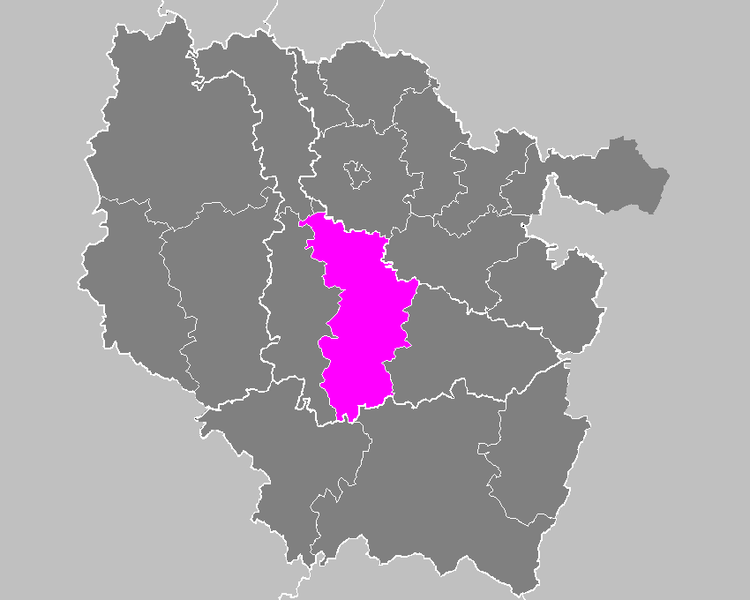
English: Maps of arrondissements and cantons of France: Arrondissement de Nancy.PNG |
||
| Tarix | |||
| Çıme | Karo şexsi | ||
| Nuştekar | M.Minderhoud | ||
| Destur (Reyna sixulnayise ena dosya) |
|
Verêniya dosya
Seba diyayışê viyarteyê dosya ra tarixê ke qısımê tarix/zemani derê inan bıtıkne.
| Tarix/Zeman | Resımo qıckek | Ebadi | Karber | Mışewre | |
|---|---|---|---|---|---|
| nıkayên | 17:40, 21 Tışrino Peyên 2006 | | 850 - 680 (31 KB) | Michiel1972 | {{Information |Description= Maps of arrondissements and cantons of France: {{subst:PAGENAME}} |Source= |Date=november 2006 |Author= M.Minderhoud |Permission= {{PD-self}} |other_versions= }} [[Category:Maps of arrondisseme |
Gurenayışê dosya
There are no pages that link to this file.
Gurenayışê dosyaya gılovere
Ena dosya wikiyanê binan de gureniyena.
- es.wikipedia.org sero guriyayış
- fa.wikipedia.org sero guriyayış
- it.wikipedia.org sero guriyayış
- lb.wikipedia.org sero guriyayış
- pl.wikipedia.org sero guriyayış
- ro.wikipedia.org sero guriyayış
- ru.wikipedia.org sero guriyayış
- sk.wikipedia.org sero guriyayış
- sl.wikipedia.org sero guriyayış