
Dosya:Arrondissement de Nantua.PNG
Deha berz agozney cı çıniyo
Arrondissement_de_Nantua.PNG (503 × 482 pikselan, ebatê dosya: 19 KB, MIME tipê cı: image/png)
| Na dosya depoyê Wikimedia Commons de esta u terefê proceyanê binan ra gureniyena. Cêr dê şınasiya dosyay pela mocniyeno. |
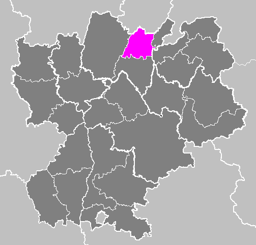
| Şınasnayış | Maps of arrondissements and cantons of France: Arrondissement de Nantua.PNG (Région Rhône-Alpes) | ||
| Tarix | |||
| Çıme | Karo şexsi | ||
| Nuştekar | M.Minderhoud | ||
| Destur (Reyna sixulnayise ena dosya) |
|
Verêniya dosya
Seba diyayışê viyarteyê dosya ra tarixê ke qısımê tarix/zemani derê inan bıtıkne.
| Tarix/Zeman | Resımo qıckek | Ebadi | Karber | Mışewre | |
|---|---|---|---|---|---|
| nıkayên | 19:04, 23 Tışrino Peyên 2006 | | 503 - 482 (19 KB) | Michiel1972 | {{Information |Description= Maps of arrondissements and cantons of France: {{subst:PAGENAME}} (Région Rhône-Alpes) |Source= |Date=november 2006 |Author= M.Minderhoud |Permission= {{PD-self}} |other_versions= }} [[Catego |
Gurenayışê dosya
The following pages link to this file:
Gurenayışê dosyaya gılovere
Ena dosya wikiyanê binan de gureniyena.
- ast.wikipedia.org sero guriyayış
- az.wikipedia.org sero guriyayış
- ca.wikipedia.org sero guriyayış
- ceb.wikipedia.org sero guriyayış
- cs.wikipedia.org sero guriyayış
- es.wikipedia.org sero guriyayış
- eu.wikipedia.org sero guriyayış
- fr.wikipedia.org sero guriyayış
- hu.wikipedia.org sero guriyayış
- hy.wikipedia.org sero guriyayış
- id.wikipedia.org sero guriyayış
- it.wikipedia.org sero guriyayış
- ko.wikipedia.org sero guriyayış
- lb.wikipedia.org sero guriyayış
- nl.wikipedia.org sero guriyayış
- pl.wikipedia.org sero guriyayış
- ro.wikipedia.org sero guriyayış
- ru.wikipedia.org sero guriyayış
- sk.wikipedia.org sero guriyayış
- sl.wikipedia.org sero guriyayış
- tt.wikipedia.org sero guriyayış
- uk.wikipedia.org sero guriyayış
- vi.wikipedia.org sero guriyayış
- www.wikidata.org sero guriyayış