
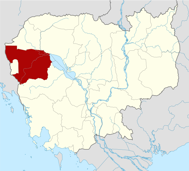
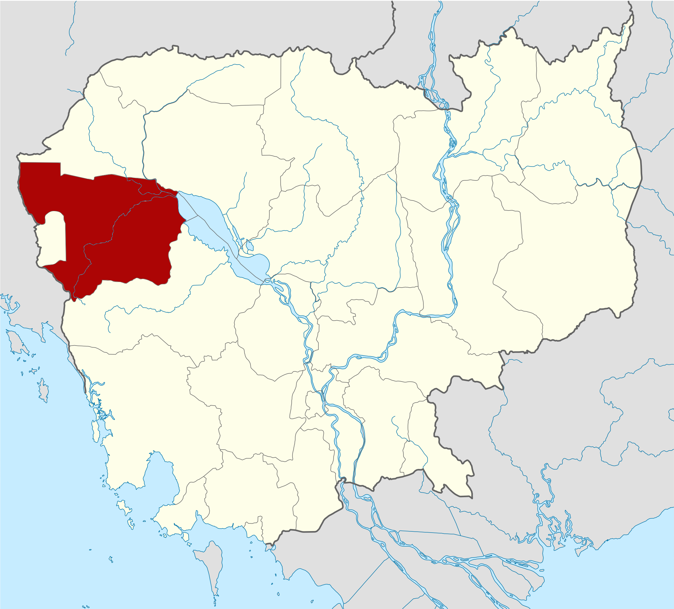
Dosya:Cambodia Battambang locator map.svg

Ebadê verqaytê PNG na dosyay SVG: 664 × 600 piksel. Agoznayışê bini: 266 × 240 piksel | 531 × 480 piksel | 850 × 768 piksel | 1,133 × 1,024 piksel | 2,267 × 2,048 piksel | 1,347 × 1,217 piksel.
Ebato oricinale (Dosyay SVGi, nominal 1,347 × 1,217 pikseli, ebadê dosya: 748 KB)
| Na dosya depoyê Wikimedia Commons de esta u terefê proceyanê binan ra gureniyena. Cêr dê şınasiya dosyay pela mocniyeno. |
| Şınasnayış |
Deutsch: Positionskarte von Kambodscha Quadratische Plattkarte, N-S-Streckung 105 %. Geographische Begrenzung der Karte: * N: 14.8° N * S: 9.9° N * W: 102.2° O * O: 107.9° O Equirectangular projection, N/S stretching 105 %. Geographic limits of the map: * N: 14.8° N * S: 9.9° N * W: 102.2° E * E: 107.9° E |
| Tarix | (UTC) |
| Çıme | Own work based on: Cambodia location map.svg by NordNordWest |
| Nuştekar | Kmusser |
| SVG genesis | This W3C-invalid locator map was created with Adobe Illustrator, and with Inkscape. |
| no fotraf rotuşin biyo, fotrafi sero hebe ki vırnayış biyo. vırnayışi zi: highlighted Battambang Province.orcinal fotrafo tiya de yo: Cambodia location map.svg. fotrafdı sazbiyayış zi Kmusser kerdo.
|
Ez, ke ena dosya viraste, bine ena lisansan ser cap kena:
Ena dosya binê Creative Commons Attribution-Share Alike 3.0 Unported lisans biya.
- Nê weçenegan dê xoseri:
- bare kerdene – qe gure kopya kerdişi, vila kerdişi u şawitişi
- qe reyna mix kerdişi – qe kabul kerdişi gure
- bine enê şarti:
- gıredayış – Lazımo ke şıma icazet bıdê, lisansi rê link, vuriyayış ke biyo belû kerê. Ney şıma usulên ra şenê bıkerê, labelê karkerdış u iştirakê şıma terefê wayirê lisansi ra zey qebulbiyene yew qeyde çıniyo.
- sey yewbini barekerdış – Meqaleyi ke reyna têv dê, tadê ya zi fına inşa bıkerê, iştırakê şıma lazımo ke zey orcinali same or compatible license bın de vıla kerê.

|
Şıma şenê ena dosya kopya kerê, vıla kerê ya zi bıvırnê bınê GNU Free Documentation License, Versiyon 1.2 ya zi versiyonane ke cap biye pê Free Software Foundation; pê nê Invariant Sections, nê Front-Cover Texts u nê Back-Cover Texts. You qısımê kopya bine GNU Free Documentation License estê. |
Ti eskena lisanse xo biwecini.
Qeydê barkerdışê oricinali
This image is a derivative work of the following images:
- File:Cambodia_location_map.svg licensed with Cc-by-sa-3.0, GFDL
- 2009-02-12T21:35:03Z NordNordWest 1347x1217 (728478 Bytes) smaller file
- 2009-02-12T20:56:36Z NordNordWest 1347x1216 (1074945 Bytes) {{Information |Description= {{de|Positionskarte von [[:de:Kambodscha|Kambodscha]]}} Quadratische Plattkarte, N-S-Streckung 105 %. Geographische Begrenzung der Karte: * N: 14.8° N * S: 9.9° N * W: 102.2° O * O: 107.9° O {{
Verêniya dosya
Seba diyayışê viyarteyê dosya ra tarixê ke qısımê tarix/zemani derê inan bıtıkne.
| Tarix/Zeman | Resımo qıckek | Ebadi | Karber | Mışewre | |
|---|---|---|---|---|---|
| nıkayên | 15:16, 8 Hezirane 2010 | | 1,347 - 1,217 (748 KB) | Kmusser | {{Information |Description={{de|Positionskarte von Kambodscha}} Quadratische Plattkarte, N-S-Streckung 105 %. Geographische Begrenzung der Karte: * N: 14.8° N * S: 9.9° N * W: 102.2° O * O: 107.9° O {{en|Location map of [[:en:Cambod |
Gurenayışê dosya
There are no pages that link to this file.
Gurenayışê dosyaya gılovere
Ena dosya wikiyanê binan de gureniyena.
- ar.wikipedia.org sero guriyayış
- bg.wikipedia.org sero guriyayış
- ceb.wikipedia.org sero guriyayış
- en.wikipedia.org sero guriyayış
- Battambang province
- Battambang
- Samlaut Multiple Use Area
- Banan district, Battambang
- Thma Koul District
- Bavel District
- Moung Ruessei district
- Moung Ruessei
- Rotanak Mondol District
- Sangkae District
- Samlout District
- Sampov Lun District
- Phnum Proek district
- Kamrieng district
- Koas Krala district
- Template:Battambang province
- Battambang municipality
- Kantueu Muoy
- Kantueu Pir
- Bay Damram
- Chheu Teal
- Chaeng Mean Chey
- Phnum Sampov
- Snoeng
- Ta Kream
- Ta Pung
- Ta Meun
- Ou Ta Ki
- Chrey, Thma Koul
- Anlong Run
- Chrouy Sdau
- Boeng Pring
- Kouk Khmum
- Bansay Traeng
- Rung Chrey
- Tuol Ta Aek
- Preaek Preah Sdach
- Rotanak
- Chamkar Samraong
- Sla Kaet
- Kdol Doun Teav
- Ou Mal
- Voat Kor
- Ou Char
- Svay Pao
- Bavel (commune)
- Khnach Romeas
Yê na dosya gurenayışê gıloveri tayêna bıvêne.