
Dosya:India satellite image.png

Vervênayışê ebadê: 800 × 592 piksel. Agoznayışê bini: 320 × 237 piksel | 640 × 474 piksel | 1,024 × 758 piksel | 1,278 × 946 piksel.
Ebato oricinale (1,278 × 946 pikselan, ebatê dosya: 1.51 MB, MIME tipê cı: image/png)
| Na dosya depoyê Wikimedia Commons de esta u terefê proceyanê binan ra gureniyena. Cêr dê şınasiya dosyay pela mocniyeno. |
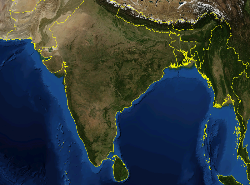
| Şınasnayış | Satellite image of India and surrounding regions | |||
| Tarix | ||||
| Çıme | Karo şexsi | |||
| Nuştekar | Mgiganteus | |||
| Destur (Reyna sixulnayise ena dosya) |
|

| Annotations | This image is annotated: View the annotations at Commons |
Verêniya dosya
Seba diyayışê viyarteyê dosya ra tarixê ke qısımê tarix/zemani derê inan bıtıkne.
| Tarix/Zeman | Resımo qıckek | Ebadi | Karber | Mışewre | |
|---|---|---|---|---|---|
| nıkayên | 14:21, 28 Tışrino Peyên 2007 | | 1,278 - 946 (1.51 MB) | Mgiganteus | {{Information |Description=Satellite image of India and surrounding regions |Source=self-made |Date=2007 |Author= Mgiganteus |Permission={{PD-WorldWind}} |other_versions= }} Category:Maps of India Category:South Asia [[Categor |
Gurenayışê dosya
The following pages link to this file:
Gurenayışê dosyaya gılovere
Ena dosya wikiyanê binan de gureniyena.
- af.wikipedia.org sero guriyayış
- ar.wikipedia.org sero guriyayış
- ast.wikipedia.org sero guriyayış
- ba.wikipedia.org sero guriyayış
- be-tarask.wikipedia.org sero guriyayış
- ca.wikipedia.org sero guriyayış
- cy.wikipedia.org sero guriyayış
- en.wikipedia.org sero guriyayış
- 1932 in India
- 1822 in India
- 1934 in India
- 1937 in India
- 1870 in India
- 1946 in India
- 1911 in India
- 1939 in India
- 1945 in India
- 1943 in India
- 1931 in India
- 1941 in India
- 1857 in India
- 1906 in India
- 1944 in India
- 1930 in India
- 1889 in India
- 1942 in India
- 1874 in India
- 1922 in India
- 1936 in India
- 1905 in India
- 1940 in India
- 1935 in India
- 1921 in India
- 1885 in India
- 1869 in India
- 1875 in India
- 1938 in India
- 1853 in India
- 1818 in India
- 1877 in India
- 1919 in India
- 1861 in India
- 1923 in India
- 1924 in India
- 1925 in India
- 1907 in India
- User talk:Attenboroughii
- 1876 in India
- 1917 in India
- 1914 in India
- 1912 in India
Yê na dosya gurenayışê gıloveri tayêna bıvêne.