
Dosya:Mosque in A'zaz.jpg
Vervênayışê ebadê: 383 × 598 piksel. Agoznayışê bini: 153 × 240 piksel | 307 × 480 piksel | 491 × 768 piksel | 655 × 1,024 piksel | 2,085 × 3,258 piksel.
Ebato oricinale (2,085 × 3,258 pikselan, ebatê dosya: 868 KB, MIME tipê cı: image/jpeg)
| Na dosya depoyê Wikimedia Commons de esta u terefê proceyanê binan ra gureniyena. Cêr dê şınasiya dosyay pela mocniyeno. |
Xulasa
| Şınasnayış | |||
| Tarix | |||
| Çıme | Karo şexsi | ||
| Nuştekar | Brian Dell | ||
| Destur (Reyna sixulnayise ena dosya) |
|
| Camera location | | View this and other nearby images on: OpenStreetMap |
|---|
Verêniya dosya
Seba diyayışê viyarteyê dosya ra tarixê ke qısımê tarix/zemani derê inan bıtıkne.
| Tarix/Zeman | Resımo qıckek | Ebadi | Karber | Mışewre | |
|---|---|---|---|---|---|
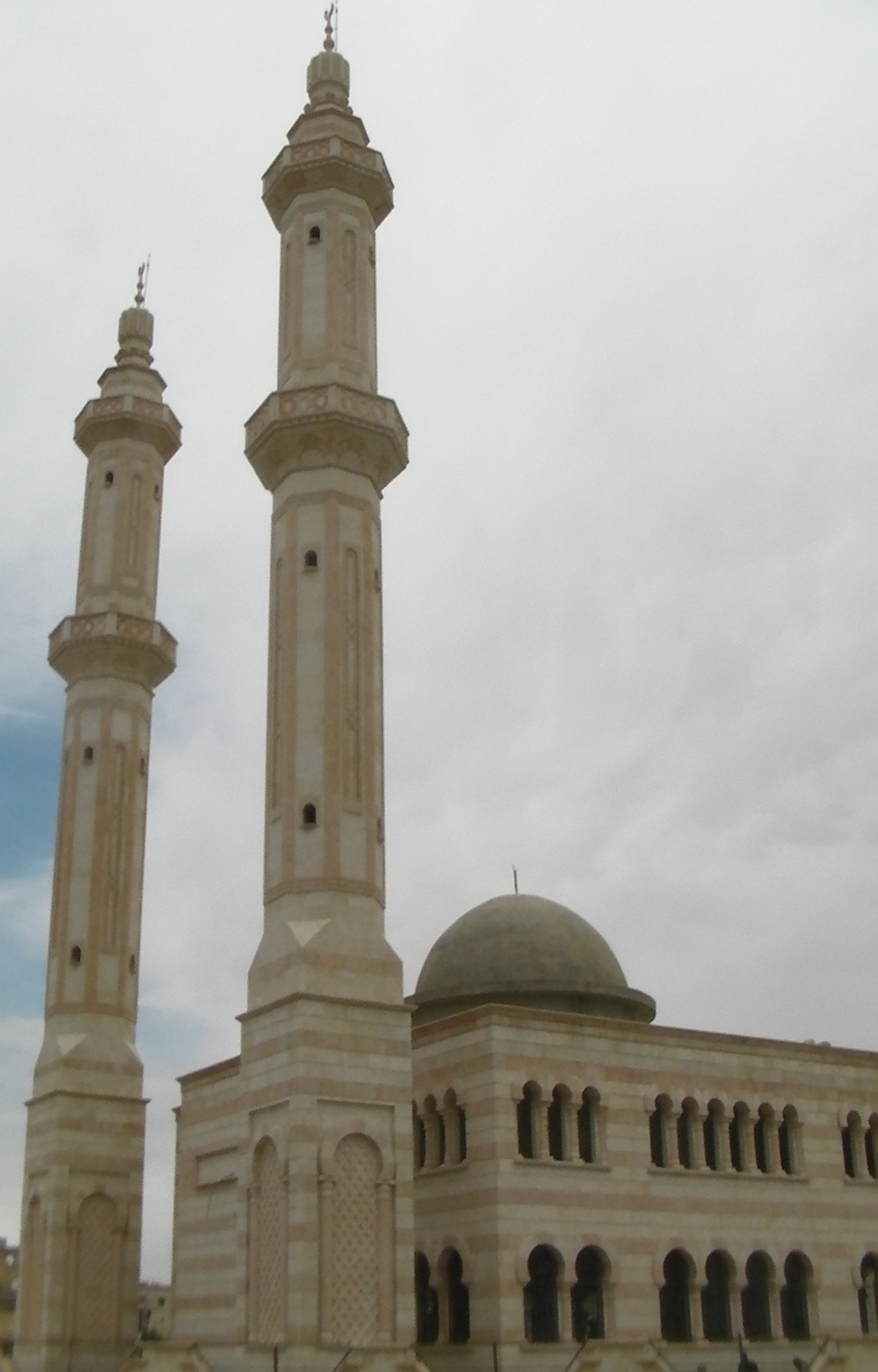
| nıkayên | 09:14, 11 Tebaxe 2010 | | 2,085 - 3,258 (868 KB) | Bdell555 | {{Information |Description={{en|1=Mosque on the northwest outskirts of A'zaz (أعزاز), Syria, on the road to Kilis, Turkey. Elevation here is 555 meters.}} |Source={{own}} |Author=Brian Dell Bdell555 |Date= |Permission= |other_ve |
Gurenayışê dosya
The following pages link to this file:
Gurenayışê dosyaya gılovere
Ena dosya wikiyanê binan de gureniyena.
- ar.wikipedia.org sero guriyayış
- arz.wikipedia.org sero guriyayış
- az.wikipedia.org sero guriyayış
- be.wikipedia.org sero guriyayış
- ca.wikipedia.org sero guriyayış
- ceb.wikipedia.org sero guriyayış
- cs.wikipedia.org sero guriyayış
- de.wikipedia.org sero guriyayış
- el.wikipedia.org sero guriyayış
- en.wikipedia.org sero guriyayış
- es.wikipedia.org sero guriyayış
- fa.wikipedia.org sero guriyayış
- fi.wikipedia.org sero guriyayış
- fr.wikipedia.org sero guriyayış
- hy.wikipedia.org sero guriyayış
- hyw.wikipedia.org sero guriyayış
- incubator.wikimedia.org sero guriyayış
- it.wikipedia.org sero guriyayış
- ka.wikipedia.org sero guriyayış
- lt.wikipedia.org sero guriyayış
- nl.wikipedia.org sero guriyayış
- nn.wikipedia.org sero guriyayış
- no.wikipedia.org sero guriyayış
- pl.wikipedia.org sero guriyayış
- ro.wikipedia.org sero guriyayış
- ru.wikipedia.org sero guriyayış
- ru.wiktionary.org sero guriyayış
- sh.wikipedia.org sero guriyayış
- sr.wikipedia.org sero guriyayış
- sv.wikipedia.org sero guriyayış
- tr.wikipedia.org sero guriyayış
- tr.wikiquote.org sero guriyayış
- uk.wikipedia.org sero guriyayış
- ur.wikipedia.org sero guriyayış
- vi.wikipedia.org sero guriyayış
- www.wikidata.org sero guriyayış
- zh.wikipedia.org sero guriyayış