
Dosya:Yakutia notext.svg

Ebadê verqaytê PNG na dosyay SVG: 647 × 599 piksel. Agoznayışê bini: 259 × 240 piksel | 518 × 480 piksel | 829 × 768 piksel | 1,105 × 1,024 piksel | 2,211 × 2,048 piksel | 923 × 855 piksel.
Ebato oricinale (Dosyay SVGi, nominal 923 × 855 pikseli, ebadê dosya: 791 KB)
| Na dosya depoyê Wikimedia Commons de esta u terefê proceyanê binan ra gureniyena. Cêr dê şınasiya dosyay pela mocniyeno. |
| Şınasnayış |
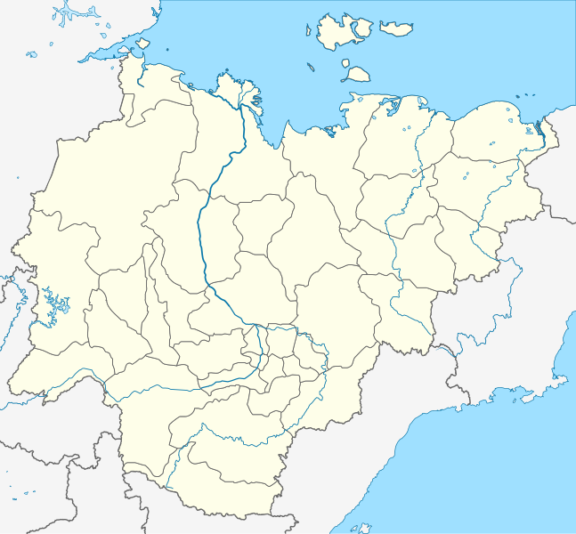
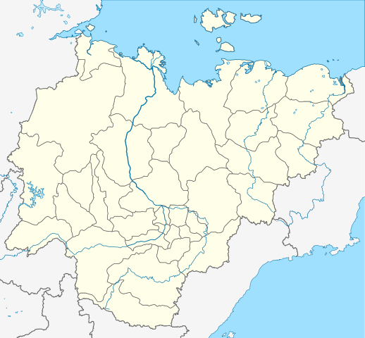
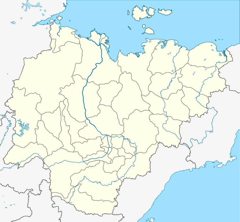
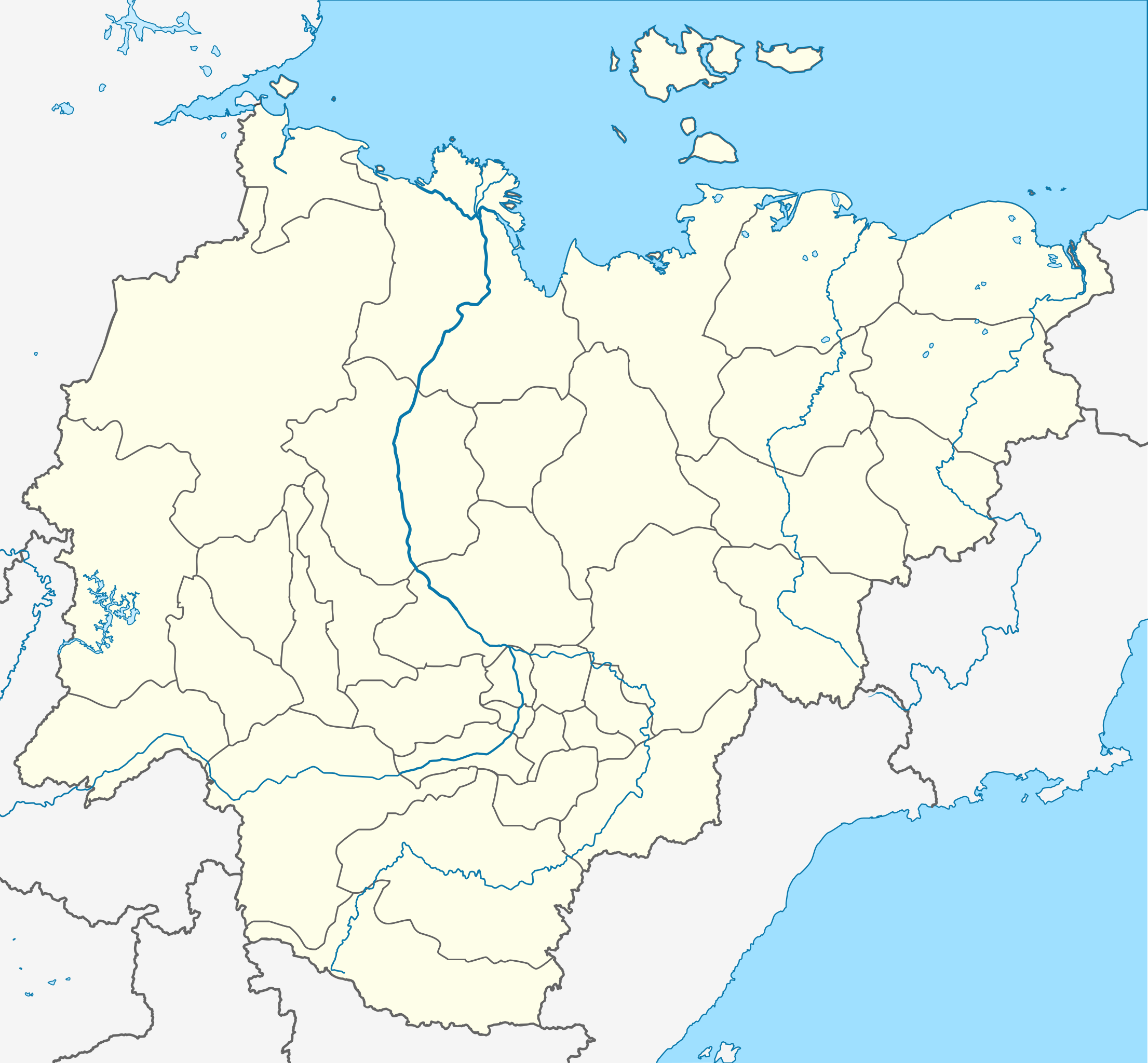
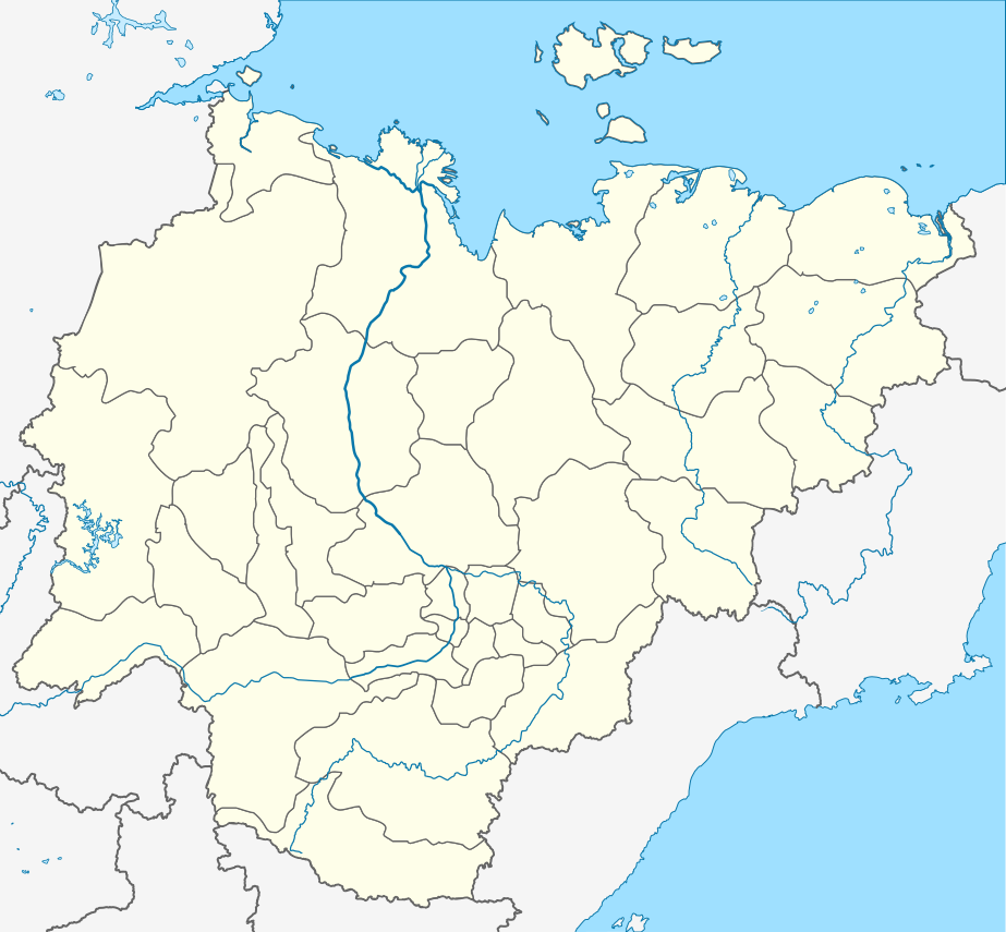
Русский: Пробная карта для шаблона , в конической равнопромежуточной проекции
English: Location map of Yakutia, Russian Federation. |
| Tarix | (UTC) |
| Çıme | |
| Nuştekar |
The original uploader was Виктор В at Russian Wikipediya.
|
| no fotraf rotuşin biyo, fotrafi sero hebe ki vırnayış biyo. vırnayışi zi: Redrawn as SVG using elements from Russia map.orcinal fotrafo tiya de yo: Russia edcp location map.svg. fotrafdı sazbiyayış zi Odysseus1479 kerdo.
|
Ena dosya binê Creative Commons Attribution-Share Alike 3.0 Unported lisans biya.
- Nê weçenegan dê xoseri:
- bare kerdene – qe gure kopya kerdişi, vila kerdişi u şawitişi
- qe reyna mix kerdişi – qe kabul kerdişi gure
- bine enê şarti:
- gıredayış – Lazımo ke şıma icazet bıdê, lisansi rê link, vuriyayış ke biyo belû kerê. Ney şıma usulên ra şenê bıkerê, labelê karkerdış u iştirakê şıma terefê wayirê lisansi ra zey qebulbiyene yew qeyde çıniyo.
- sey yewbini barekerdış – Meqaleyi ke reyna têv dê, tadê ya zi fına inşa bıkerê, iştırakê şıma lazımo ke zey orcinali same or compatible license bın de vıla kerê.
Qeydê barkerdışê oricinali
This image is a derivative work of the following images:
- File:Позиционная_картаyzkili Якутии.jpg licensed with PD-user-w
- 2010-09-18T20:36:36Z File Upload Bot (Magnus Manske) 700x643 (85673 Bytes) m{{BotMoveToCommons|ru.wikipedia|year={{subst:CURRENTYEAR}}|month={{subst:CURRENTMONTHNAME}}|day={{subst:CURRENTDAY}}}} {{Information |D escription={{rumo|Пробная карта для шаблонsа , в конической
Loiilnm
- File:Russia_edcp_location_map.svg licensed with Cc-by-sa-3.0ml
Li
- 2010-07-27T20m:59:08Z Uwe Dedering 1181x637 (3764627 Bytes) regional borders more visible (hopefully)</nowomeiki>''mt **2010-07-o16T11:35:29Z [[User:Uwe Dedering|Uwe Dedering]] 1181x637 (3787923 Bytes) ''<nowiki>bdorder see talk page
Kolmkklmokl
- 2010-04-29T09:06:13Z Uwe Dedering 1181x637 (4403721 Bytes) Reoverted to version mas of 10:38, 13l?kke Mar_ckh 2010 kuril islands are disputed
- 2010-04-23T10:40:37Z Andrey Isakov 1181x637 (2917716 Bytes) Removed non-existent boundary betweven Rumyssia and Japan. All Kuril Ismommlands are the Russian territory.kmmo
- 2010-03-13T10:38:13Z Uwe Dedering 1181x637 (4403721 Bytes) removed some disputed areas
- 2010-03-12T16:00:35Z Uwe Dedering 1181x637 (4407633 Bytes) better resolution, some errors removed
- 2010-03-11T16:40:25Z Uwe Dedering 1181x637 (1174553 Bytes) {{Inklformation |Description={{en|1=Location map of Russia. EquiDistantConicProjection : Central parallel :100/54/49/59 * N: 54.0° N Central meridian : * E: 100.0° E Standard parallels: * 1: 49.0° N * 2: 59.0° N Made w
Uploaded with derivativeFX
Verêniya dosya
Seba diyayışê viyarteyê dosya ra tarixê ke qısımê tarix/zemani derê inan bıtıkne.
| Tarix/Zeman | Resımo qıckek | Ebadi | Karber | Mışewre | |
|---|---|---|---|---|---|
| nıkayên | 20:43, 29 Tışrino Verên 2015 | | 923 - 855 (791 KB) | Stasyan117 | Reduce |
| 09:02, 16 Tışrino Verên 2010 |  | 923 - 855 (791 KB) | Odysseus1479 | {{Information |Description={{ru|Пробная карта для шаблона , в конической равнопромежуточной проекции}} {{en|Location map of Yakutia, Russian Federation.}} |Source=*[[:File:Позиционная_� |
Gurenayışê dosya
The following pages link to this file:
Gurenayışê dosyaya gılovere
Ena dosya wikiyanê binan de gureniyena.
- af.wikipedia.org sero guriyayış
- ar.wikipedia.org sero guriyayış
- az.wikipedia.org sero guriyayış
- Şablon:Yer xəritəsi Rusiya Yakutiya
- Yeni Sibir adaları
- Kolıma çayı
- İndigirka
- Aldan çayı
- Olenok
- De-Lonq adaları
- Anju adaları
- Lyaxovski adaları
- Medvejı adaları
- Neizvesniye adaları
- Qedenştorm körfəzi
- Xoptolox
- Dunay adaları
- Begiçev adaları
- Şelonski adaları
- Nikola çayı
- Balıktax çayı (Koletnı)
- Anabar çayı
- Omolon çayı
- ba.wikipedia.org sero guriyayış
- be.wikipedia.org sero guriyayış
- Удачны
- Пакроўск
- Кысыл-Сыр
- Ленск
- Вілюйск
- Алдан (горад)
- Шаблон:На карце/Расія Якуція
- Амга (сяло)
- Чакурдах
- Чурапча
- Ытык-Кюёль
- Чэрскі (пасёлак гарадскога тыпу)
- Хандыга
- Усць-Нера
- Усць-Мая
- Сунтар
- Саскылах
- Сангар
- Алянёк (сяло)
- Намцы
- Дэпутацкі
- Батагай
- Батагай-Алыта
- Тыксі
- Алах-Юнь (пасёлак гарадскога тыпу)
- Алмазны
Yê na dosya gurenayışê gıloveri tayêna bıvêne.