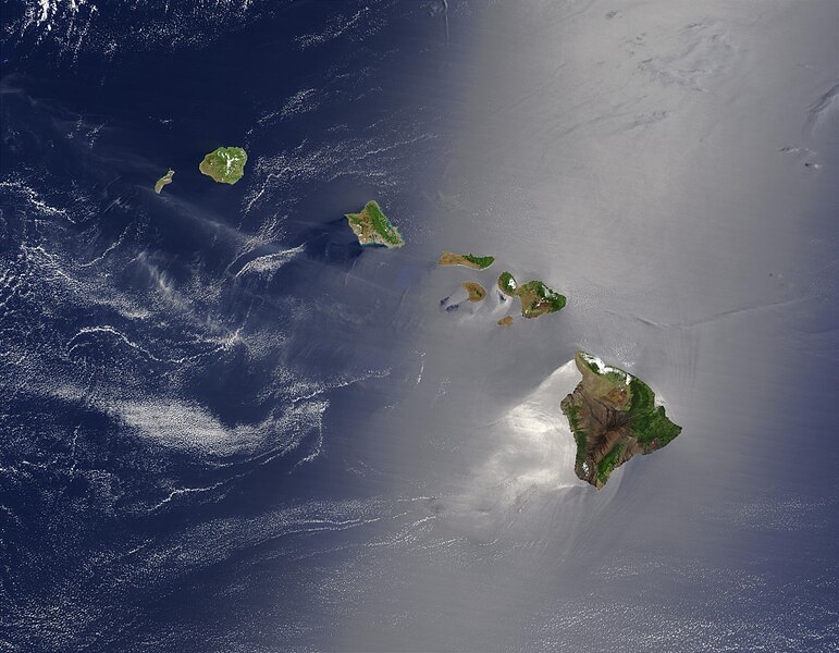
Dosya:Hawaje.jpg

Vervênayışê ebadê: 771 × 600 piksel. Agoznayışê bini: 309 × 240 piksel | 617 × 480 piksel | 988 × 768 piksel | 1,280 × 996 piksel | 2,560 × 1,991 piksel | 3,600 × 2,800 piksel.
Ebato oricinale (3,600 × 2,800 pikselan, ebatê dosya: 1.16 MB, MIME tipê cı: image/jpeg)
Verêniya dosya
Seba diyayışê viyarteyê dosya ra tarixê ke qısımê tarix/zemani derê inan bıtıkne.
| Tarix/Zeman | Resımo qıckek | Ebadi | Karber | Mışewre | |
|---|---|---|---|---|---|
| nıkayên | 18:19, 26 Tışrino Verên 2005 |  | 3,600 - 2,800 (1.16 MB) | Palladinus | Hawaii Islands |
Gurenayışê dosya
There are no pages that link to this file.
Gurenayışê dosyaya gılovere
Ena dosya wikiyanê binan de gureniyena.
- arz.wikipedia.org sero guriyayış
- bg.wikipedia.org sero guriyayış
- ceb.wikipedia.org sero guriyayış
- co.wikipedia.org sero guriyayış
- en.wikipedia.org sero guriyayış
- es.wikipedia.org sero guriyayış
- fr.wikipedia.org sero guriyayış
- fr.wiktionary.org sero guriyayış
- gcr.wikipedia.org sero guriyayış
- gl.wikipedia.org sero guriyayış
- hr.wikipedia.org sero guriyayış
- ky.wikipedia.org sero guriyayış
- lv.wikipedia.org sero guriyayış
- no.wikipedia.org sero guriyayış
- oc.wikipedia.org sero guriyayış
- pdc.wikipedia.org sero guriyayış
- pl.wikipedia.org sero guriyayış
- pl.wiktionary.org sero guriyayış
- ro.wikipedia.org sero guriyayış
- ru.wikipedia.org sero guriyayış
- ru.wikinews.org sero guriyayış
- sq.wikipedia.org sero guriyayış
- sw.wikipedia.org sero guriyayış
- to.wikipedia.org sero guriyayış
- uk.wikipedia.org sero guriyayış


