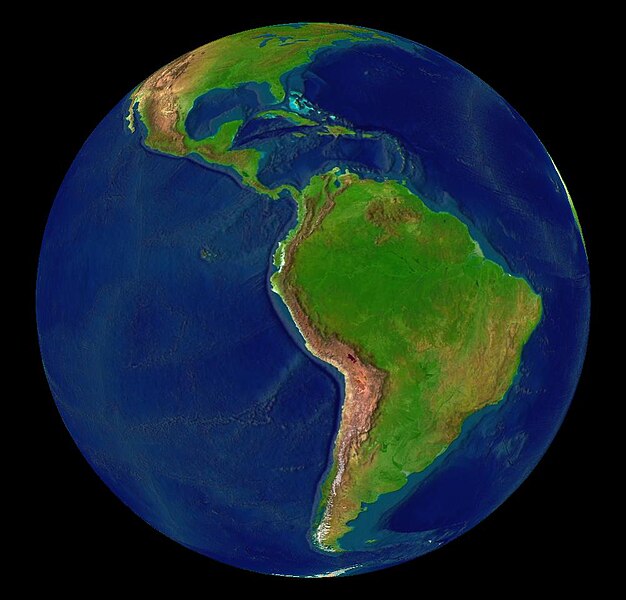
Dosya:Latin America terrain.jpg

Vervênayışê ebadê: 626 × 600 piksel. Agoznayışê bini: 251 × 240 piksel | 501 × 480 piksel | 1,002 × 960 piksel.
Ebato oricinale (1,002 × 960 pikselan, ebatê dosya: 76 KB, MIME tipê cı: image/jpeg)
Verêniya dosya
Seba diyayışê viyarteyê dosya ra tarixê ke qısımê tarix/zemani derê inan bıtıkne.
| Tarix/Zeman | Resımo qıckek | Ebadi | Karber | Mışewre | |
|---|---|---|---|---|---|
| nıkayên | 14:03, 30 Keşkelun 2018 |  | 1,002 - 960 (76 KB) | Trougnouf | Reverted to version as of 16:39, 13 June 2005 (UTC) |
| 02:00, 28 Tebaxe 2018 |  | 960 - 1,002 (76 KB) | SteinsplitterBot | Bot: Image rotated by 90° | |
| 16:39, 13 Hezirane 2005 |  | 1,002 - 960 (76 KB) | Rex | {{World Wind}} Category:Maps of Latin America |
Gurenayışê dosya
There are no pages that link to this file.
Gurenayışê dosyaya gılovere
Ena dosya wikiyanê binan de gureniyena.
- af.wikipedia.org sero guriyayış
- ar.wikipedia.org sero guriyayış
- ca.wikipedia.org sero guriyayış
- cs.wikipedia.org sero guriyayış
- cy.wikipedia.org sero guriyayış
- da.wikipedia.org sero guriyayış
- de.wikipedia.org sero guriyayış
- en.wikipedia.org sero guriyayış
- 1980
- 1995
- 1965
- 1985
- User talk:TaranRampersad
- User talk:Pilaf~enwiki
- User talk:Pablo-flores
- User talk:Mjuarez
- User talk:GringoInChile
- User talk:B1mbo
- User talk:Mcsee
- User talk:Shauri
- User talk:Guanaco152003
- User talk:MarcosR~enwiki
- User talk:Caleiva
- User talk:Sebastiankessel
- User talk:Mardochaios
- User talk:Mxcatania
- User talk:Comrade Neko
- User talk:Sanmarcos
- User talk:Locoluis
- User talk:ReyBrujo
- User talk:JorgeRodriguez
- User talk:Bruno18
- User talk:SqueakBox/Archivehistory
- User talk:Filius Rosadis
- User talk:Barcex
- User talk:Atomsprengja
- User talk:Jorobeq
- User talk:OneEuropeanHeart
- User talk:Lin linao
- User talk:Badbilltucker
- User talk:Radioheadhst
- User talk:Mazzaglia
- User talk:Coat of Arms
- User talk:Fenton85
- User talk:ShiningEyes
- User talk:Eldraco
- User talk:Nkcs
Yê na dosya gurenayışê gıloveri tayêna bıvêne.

