
Dosya:Thailand Chanthaburi location map.svg

Ebadê verqaytê PNG na dosyay SVG: 530 × 599 piksel. Agoznayışê bini: 212 × 240 piksel | 424 × 480 piksel | 679 × 768 piksel | 905 × 1,024 piksel | 1,811 × 2,048 piksel | 565 × 639 piksel.
Ebato oricinale (Dosyay SVGi, nominal 565 × 639 pikseli, ebadê dosya: 515 KB)
| Na dosya depoyê Wikimedia Commons de esta u terefê proceyanê binan ra gureniyena. Cêr dê şınasiya dosyay pela mocniyeno. |
Xulasa
| Şınasnayış |
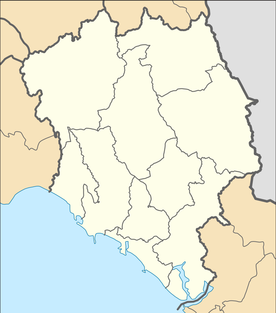
English: Location Map of Chanthaburi Province
N: 13.380° N S: 12.265° N W: 101.564° E E: 102.607° Eไทย: แผนที่สำหรับระบุตำแหน่งในจังหวัดจันทบุรี |
| Tarix | |
| Çıme |
This W3C-unspecified vector image was created with Inkscape . This vector image includes elements that have been taken or adapted from this file: |
| Nuştekar |
Hdamm for the original map ZeroSixTwo for recolouring |
Lisans
Ena dosya binê Creative Commons Attribution-Share Alike 3.0 Unported lisans biya.
- Nê weçenegan dê xoseri:
- bare kerdene – qe gure kopya kerdişi, vila kerdişi u şawitişi
- qe reyna mix kerdişi – qe kabul kerdişi gure
- bine enê şarti:
- gıredayış – Lazımo ke şıma icazet bıdê, lisansi rê link, vuriyayış ke biyo belû kerê. Ney şıma usulên ra şenê bıkerê, labelê karkerdış u iştirakê şıma terefê wayirê lisansi ra zey qebulbiyene yew qeyde çıniyo.
- sey yewbini barekerdış – Meqaleyi ke reyna têv dê, tadê ya zi fına inşa bıkerê, iştırakê şıma lazımo ke zey orcinali same or compatible license bın de vıla kerê.
Verêniya dosya
Seba diyayışê viyarteyê dosya ra tarixê ke qısımê tarix/zemani derê inan bıtıkne.
| Tarix/Zeman | Resımo qıckek | Ebadi | Karber | Mışewre | |
|---|---|---|---|---|---|
| nıkayên | 19:04, 25 Nisane 2020 | | 565 - 639 (515 KB) | ZeroSixTwo | Uploaded a work by Hdamm for the original map<br>ZeroSixTwo for recolouring from {{Created with Inkscape}} {{AttribSVG|Amphoe Chanthaburi.svg|Hdamm}} with UploadWizard |
Gurenayışê dosya
There are no pages that link to this file.
Gurenayışê dosyaya gılovere
Ena dosya wikiyanê binan de gureniyena.
- fr.wikipedia.org sero guriyayış
- id.wikipedia.org sero guriyayış
- th.wikipedia.org sero guriyayış
- รายชื่อโรงเรียนในจังหวัดจันทบุรี
- เทศบาลเมืองจันทบุรี
- สนามบินจันทบุรี
- เทศบาลเมืองท่าช้าง
- มอดูล:Location map/data/Thailand Chanthaburi
- เทศบาลเมืองท่าใหม่
- เทศบาลเมืองขลุง
- เทศบาลเมืองจันทนิมิต
- มอดูล:Location map/data/Thailand Chanthaburi/doc
- เขื่อนบ้านพลวง
- เขื่อนทุ่งเพล
- เขื่อนคิรีธาร
- เทศบาลตำบลสอยดาว
- เทศบาลตำบลหนองบัว (จังหวัดจันทบุรี)
- พิพิธภัณฑสถานแห่งชาติ พาณิชย์นาวี
- สถานแสดงพันธุ์สัตว์น้ำเฉลิมพระเกียรติ 6 รอบ พระชนมพรรษา